

Are you interested in the history of your region? Did you like our topographical project but think it lacks some important places you know about? Send us your suggestions for adding to Live Map through our interface.
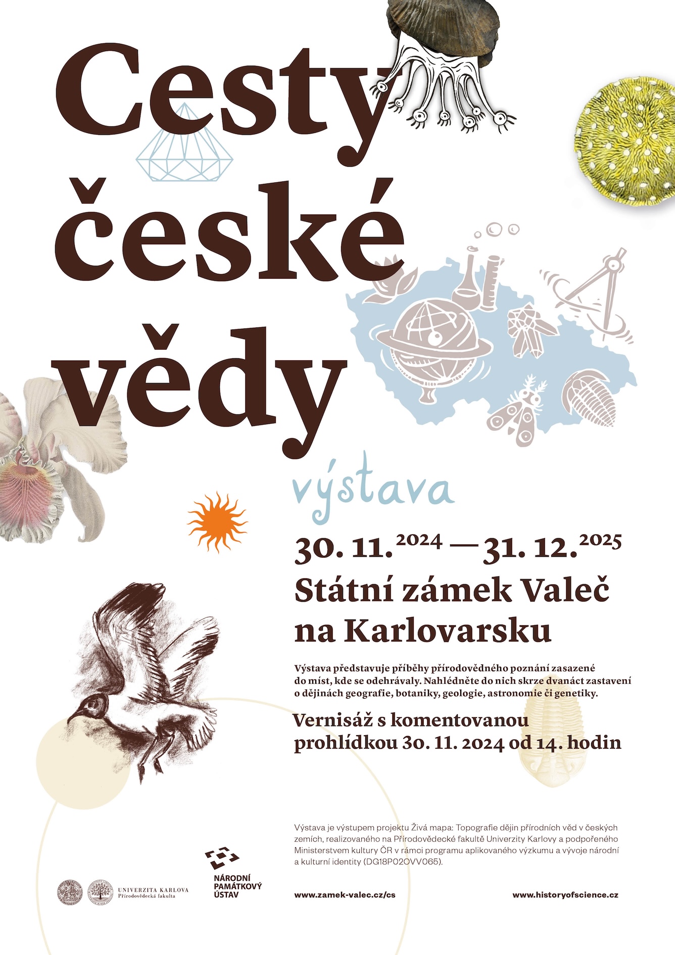
THE PATHS OF CZECH SCIENCE wind through the landscape and history of this country usually unnoticed. The exhibition presents stories from the history of natural sciences, set in in the places where they actually happened. Take a look at them through the twelve stops hiding stories from the history of geography, botany, geology, astronomy, genetics or philosophy of nature. They represent symbolical halts in time and place; they offer space to think, find unexpected connotations, create mental representation of events…
The topics the exhibition presents were selected from the twelve educational trails created for this project as mobile applications. The exhibition has now found a long-term location at the Valeč State Chateau in the Karlovy Vary region.
Exhibition catalog can be downloaded here.

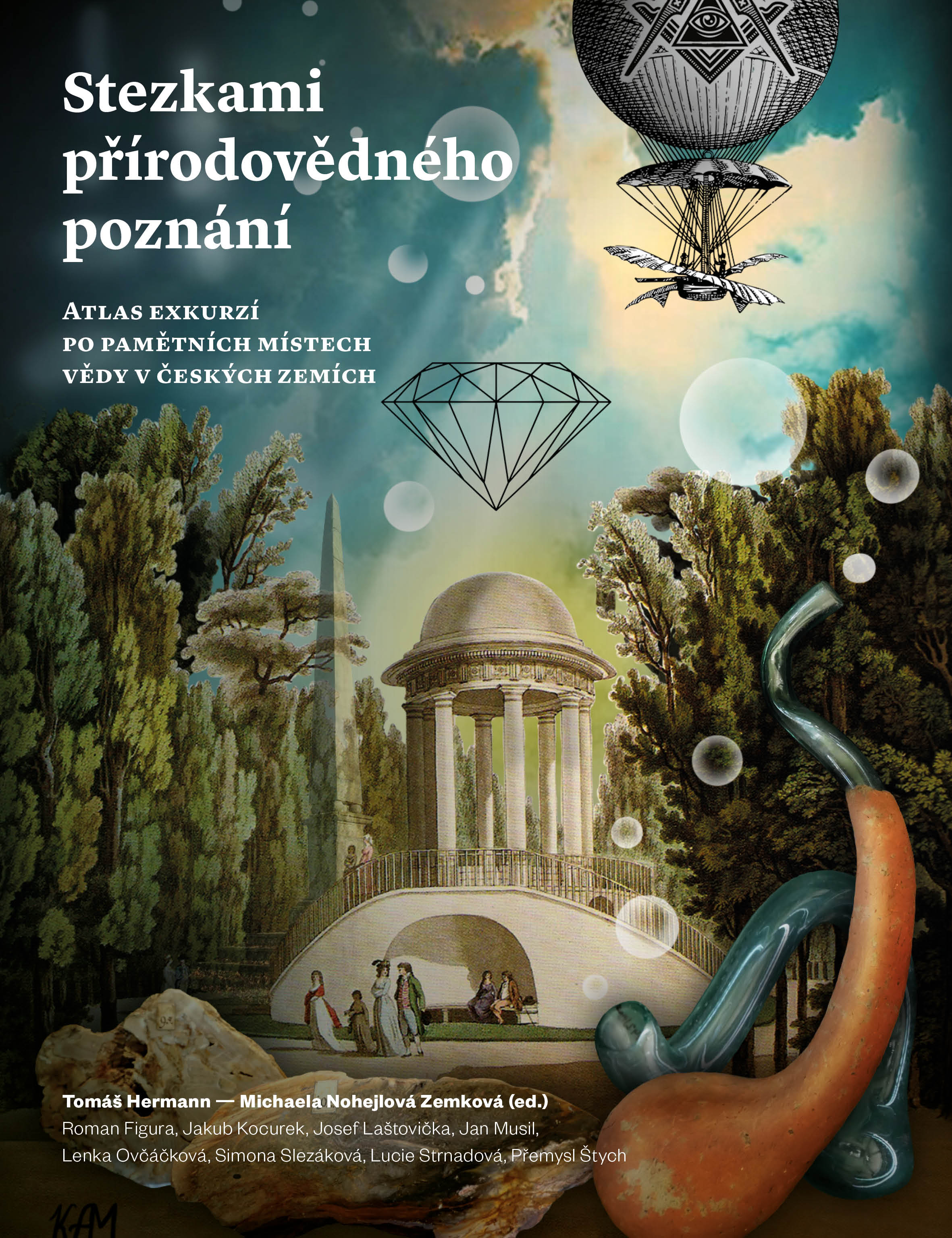
We are preparing an expanded edition of the printed publication Paths of Natural Science. Atlas of excursions to the memorial sites of science in the Czech lands in cooperation with the Faculty of Science of the Charles University and the publishing house Pavel Mervart. The book, with rich graphic and visual accompaniment, summarizes the best of our work and significantly deepens the content of the original virtual trails. It can become a source of new information, an unusual guide for trips to explore, but also an inspiration for pedagogical activities.

We present a set of twelve virtual routes. Each of them brings an original story about the development of natural science knowledge in the Czech lands. The trails are available as audio recordings in Czech and English, which you can download from our website. These twelve excursions have also been visually processed in the travelling exhibition THE ROADS OF CZECH SCIENCE. They will also be the subject of the forthcoming book Trails of Natural Knowledge, which will be published in a greatly expanded form. Atlas of excursions to memorable places of science in the Czech lands, which will be published in print in 2024.
What is our aim? We want to create a representative database of as many places as possible that are connected with the development of natural sciences in what is now the Czech Republic, especially in the fields of biology, physics, geology, geography, chemistry and mathematics, and make them available to the public in the form of a map. For now we are leaving aside the medical sciences and are also not mapping the development of technologies. Our project will help to document and preserve our national cultural heritage, and also make it available in a popular and educational form.
Our team consists of researchers from the Faculty of Science of Charles University in Prague from Department of Philosophy and the History of Natural Sciences and Department of Applied Geoinformatics and Cartography: Tomáš Hermann, Jan Musil, Přemysl Štych, Karolína Pauknerová, Lucie Strnadová, Lenka Ovčáčková, Michaela Nohejlová Zemková, Jakub Kocurek, Roman Figura, Kristýna Mlynaříková, Simona Slezáková, Petr Hampl, Josef Laštovička, Daniel Paluba and Daniel Dobrovolný.
Kristýna Adámek Mlynaříková (graphics, ilustrations), Gabriel Andrews (voiceover in trails), Alex Aylward (proofreading), Jiří Brabec, Karel Cettl (ilustrations), Daniel Dobrovolný (database, uploading system and e-atlas), Anna Hermannová (AH, photographer), Jan Hirsch, Johana Hořejší (JH), Sylvie Kročáková (Science in), Martin Krsek (mk), Jaroslav Kříženecký, Petr Mareš (Science in), Jan Matějů, Pavel Mervart (publisher), Jaroslav Michálek, Barbora Müllerová (ilustrations), Ondřej Nohejl (ilustrations), Lucie Nováková (translations), Daniel Paluba (web), Anna Pilátová (translations), Magdalena Pehalová (translations), Martin Pudil (MP), Marcela Suchomelová (MS), Miroslav Radoň, Petr Rojík, Jan Sklenář, Soňa Štrbáňová (SŠ), Renata Vykusová (proofreading), Ruth Jochanan Weiniger (RJW), Ondřej Zikán (administration), Petra Zíková (PZ)