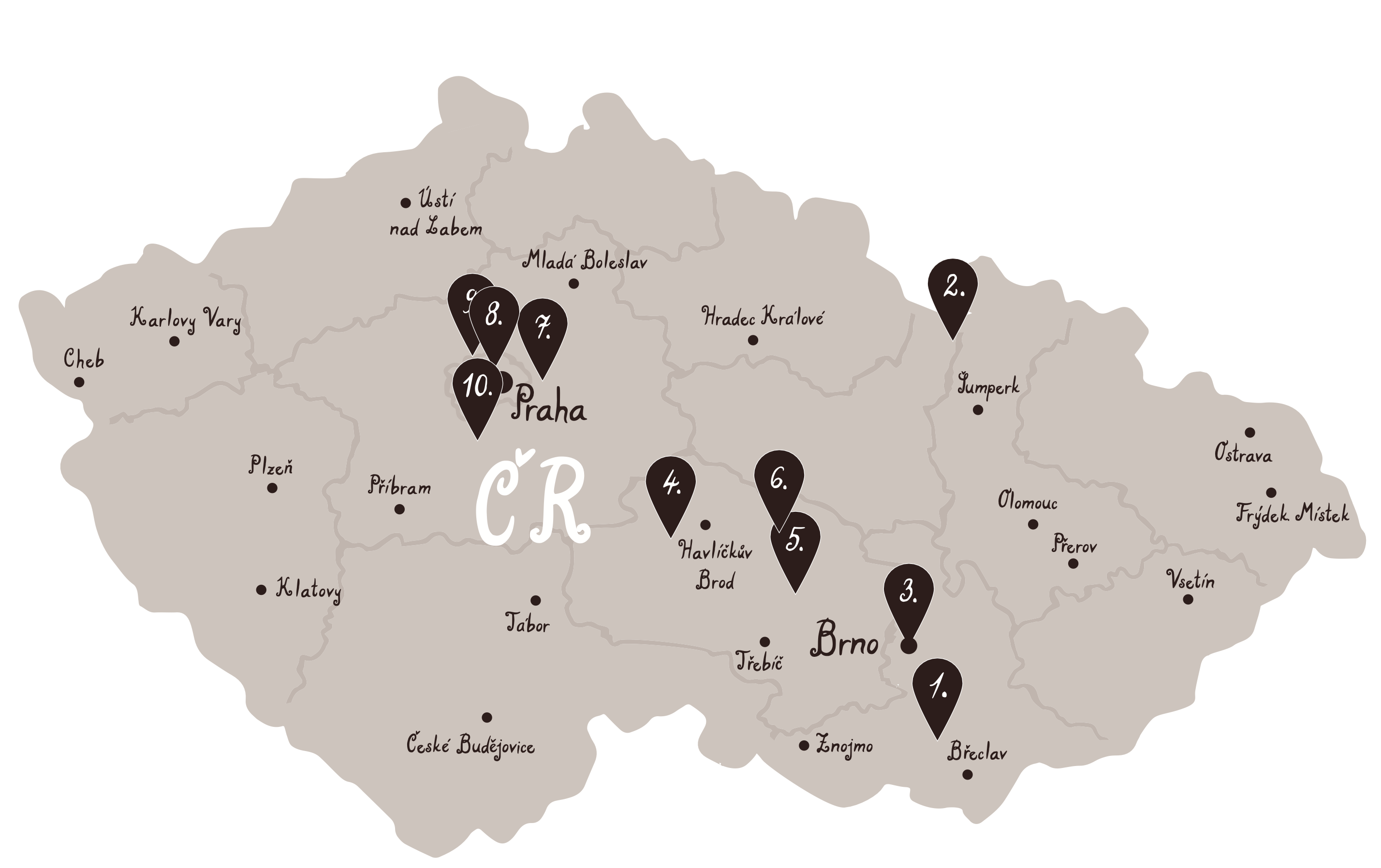
The Czech lands were at the forefront of European cartography from the very start of this scientific discipline. Many prominent Czech authors of vedute, plans, maps and globes have left their legacy for future generations. Join us in roaming through the history of Czech cartography. Our virtual trail not only presents the development of mapping techniques, but also everything that maps contained, as well as how the depiction of the landscape changed, and the purposes for which maps were originally drawn. We show the history of cartography in ten stops, spread all across the country. You can also visit them individually out of sequence on your travels.
Acknowledgement: We would like to take this opportunity to thank Bohuslav Klím Jr. for the valuable comments. The Institute of History of the Academy of Sciences of the Czech Republic, namely Prof. Eva Semotanová. Archive of the Library of Geography and Map Collection, Charles University, namely Dr. Eva Novotná. Laboratory of Geoinformatics from J. E. Purkyně University, namely Ing. Vladimír Brůna (now working at the Czech Institute of Egyptology, Faculty of Arts, Charles University). Regional Museum in Jílové u Prahy, namely Dr. Šárka Juřinová. And also, to the Ministry of the Environment of the Czech Republic, Central Bohemian Museum in Roztoky near Prague and Czech Office for Surveying, Mapping and Cadastre for the provided pictures and materials for our trail.
Review: Karolína Pauknerová
English version: Lucie Nováková, Magdalena Pehalová, Alex Aylward
 Depicting and Surveying the World